Urban Infrastructure - Making Cities Smarter
During commute hours, San Francisco Muni riders can look out their windows and watch a river of bicycles flow along Market Street. Bike use in California has doubled in the past 12 years, according to the California Household Transportation Survey. Thousands of younger workers in cities bike to work, rely on public transportation, or use Uber and Lyft.
Add the prospect of self-driving car technology and shared on-demand fleets, and it’s easy to see that transportation planners face a huge challenge trying to determine and predict where people are going and how they get there.
“The transportation landscape is changing rapidly as the world is becoming highly urbanized,” says Alexei Pozdnoukhov, assistant professor of civil and environmental engineering. “It is vital for us to be able to monitor and steer these changes to keep the cities of the future livable and efficient.”
Transit agencies may not know where city travelers are at any moment, but cell phone and social networking services do. Facebook’s web site, for example, informs users that the company tracks “device locations, including geographic locations, such as through GPS, Bluetooth or WiFi signals.”
Geo-data from mobile devices is tightly held, so it’s out of reach to transportation planners. In any case, neither public agencies nor private social networking services have the computational tools to mine the data in order to view the daily migrations of millions of people.
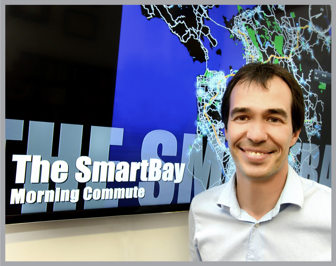
Pozdnoukhov is taking on the challenge. With support from the new Signatures Innovation Fellows program, he is advancing a strategy that taps into the geo-tracking capability of mobile devices. This year, working with AT&T, his team developed software that for the first time can mine the record of geo-tagged data from travelers’ mobile devices to provide a close approximation of mobility patterns in cities.
The software can also deduce the general travel purposes — say, commuting vs shopping — from the social network signals wafting out of smart phones in purses and pockets. The technology does not identify individuals; all data is “aggregated and anonymized, and all the algorithms are specifically designed to protect privacy,” Pozdnoukhov says.
In a project called SmartBay, the team analyzed typical geo-data from commuters and used it to produce a simulation of weekday traffic over a mix of freeways and state routes, as well as all arterial and countryside roads in the nine county San Francisco Bay Area.
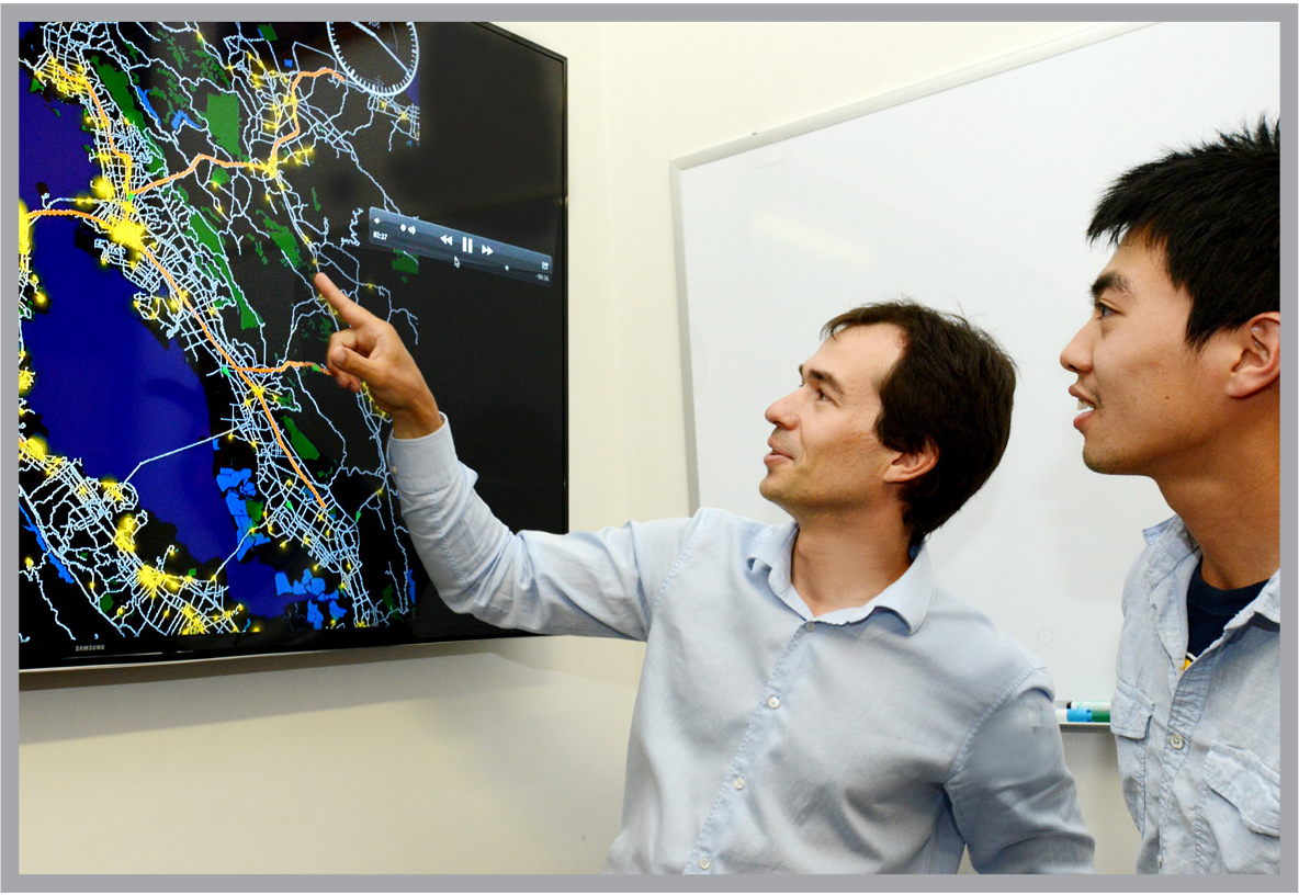
The program can use the data to simulate shifting traffic patterns throughout the day. The simulation looks something like a video game: vehicles are displayed as brightly colored dots, some dawdling but most zipping along, as they make their way through the maze of San Francisco’s roadways.
The Signatures Innovation Fellows funding will allow Pozdnoukhov to use the new tool to generate a highly quantitative, real-time picture of travel throughout the city. Fully developed, the technology could aid both traffic control and planning to keep pace with changes in transportation habits.
Transportation agencies could improve their operations, while the cell phone and social network providers could offer new services based on their customers’ likely destinations and modes of travel.
Naturally, the private companies would want to retain their proprietary raw geo-data, so the strategy calls for a middleman between the private companies and the public agencies.
Pozdnoukhov envisions a new kind of company — a for-profit enterprise to provide the computational know how to mine the data for planners, while assuring that the raw data stays in the hands of the cell phone and social network companies that gather it.
The plan fits with the prime goal of the Signatures Innovation Fellows program to spur new technology-based businesses. The initiative was launched to develop and support visionary faculty entrepreneurs aiming to build new types of companies.
“Geo-location data have become a critical part of the urban infrastructure,” Pozdnoukhov says. “The Signatures Fellowship can help bring our work to practice — to help shape a new data-driven ecosystem in which cities and businesses collaborate and citizens benefit.”
The Signatures Innovation Fellows Program supports innovative research by UC Berkeley faculty and researchers in the data science and software areas with a special focus on projects that hold commercial promise. For more information, see http://vcresearch.berkeley.edu/signatures/about.