EVs Are Lowering Bay Area’s Carbon Footprint
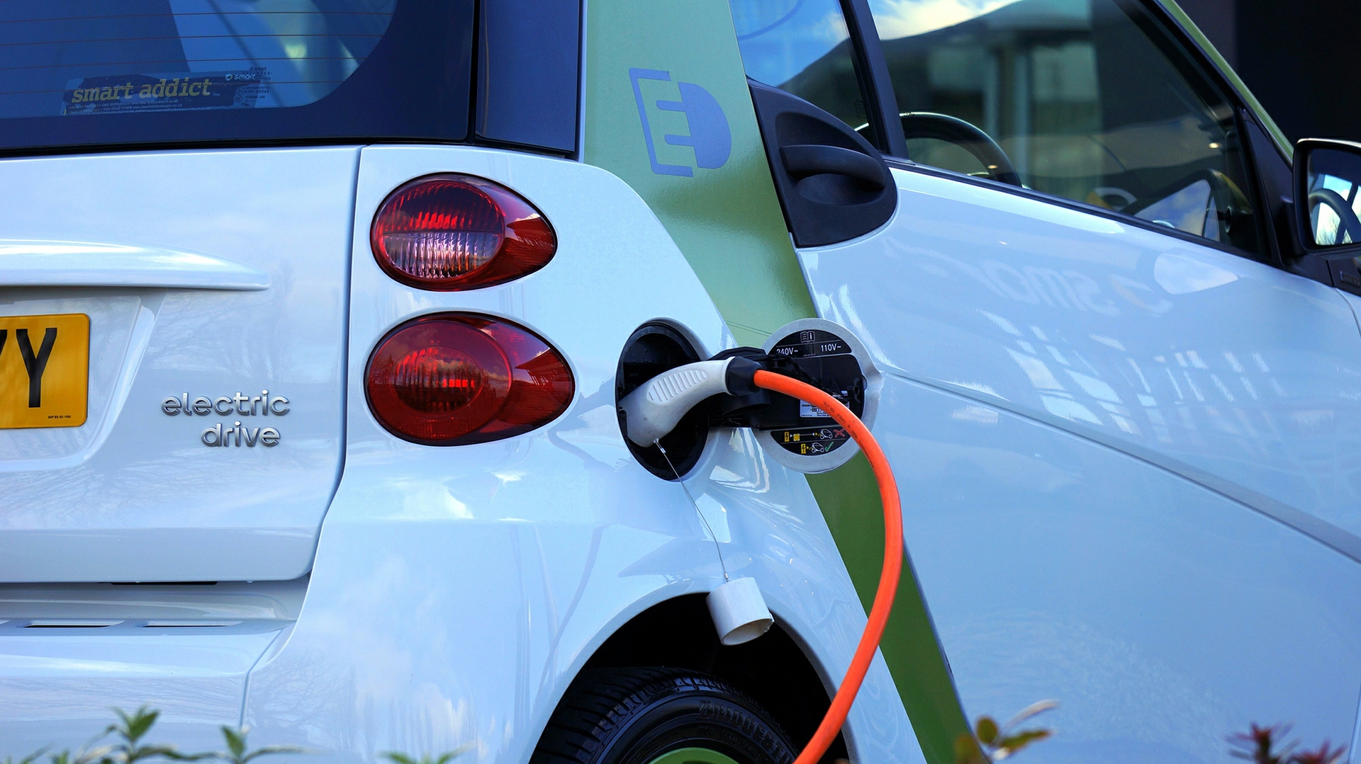
An extensive CO2 monitoring network set up around the San Francisco Bay Area by an atmospheric chemist from the University of California, Berkeley, has recorded the first evidence that the adoption of electric vehicles is measurably lowering the area's carbon emissions.
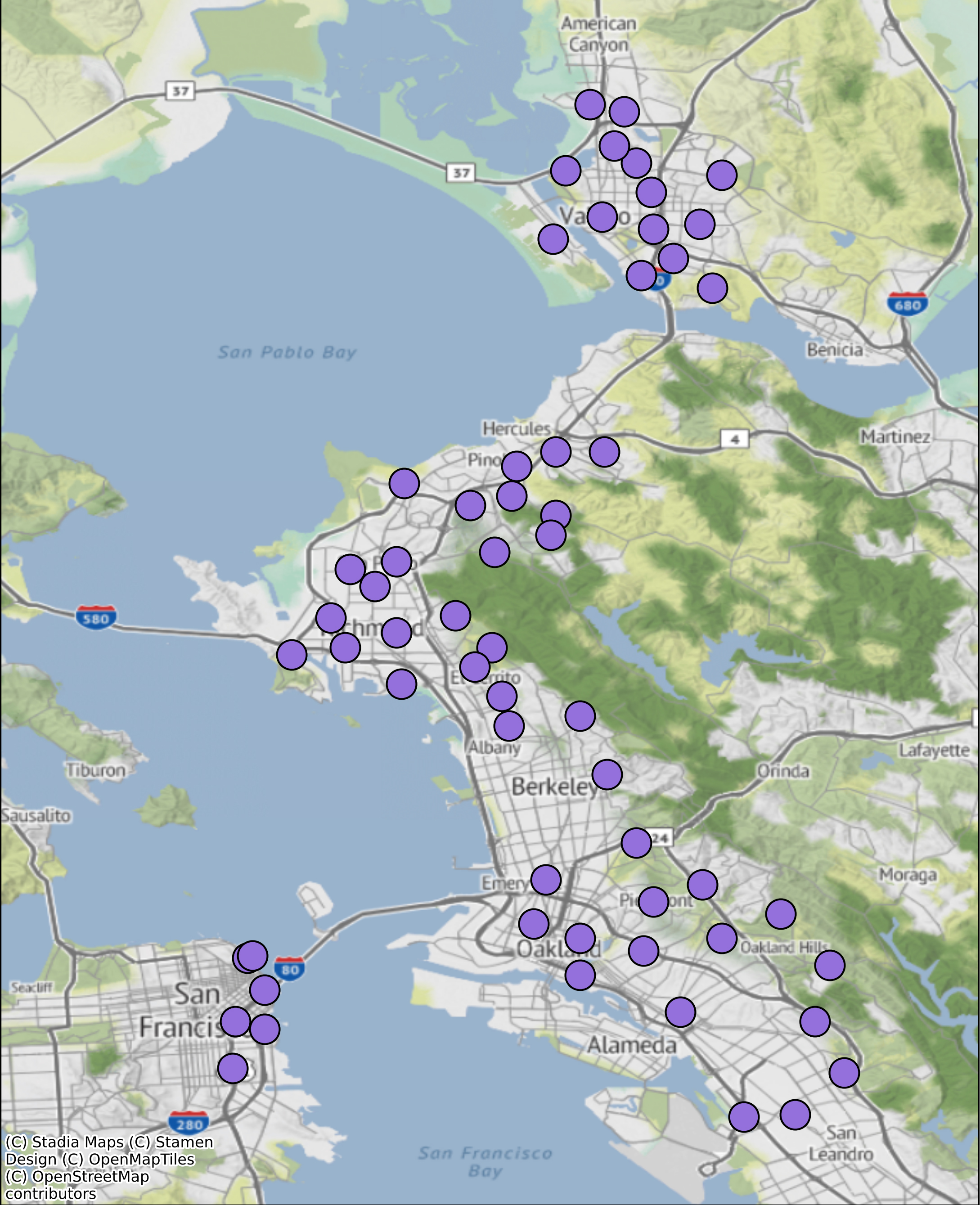
The network of sensors, most of them in the East Bay, is the brainchild of Ronald Cohen, UC Berkeley professor of chemistry, who envisions inexpensive, publicly funded pollution and carbon dioxide monitors widely distributed around urban areas to pinpoint emission sources and the neighborhoods most affected. An estimated 70% of global CO2 emissions come from cities, yet few urban areas have granular data about where those emissions originate.
 In 2012, Cohen began setting up a Bay Area sensing network that has now grown to more than 80 stations, including seven in San Francisco, that stretches from Sonoma County through Vallejo and down to San Leandro.
Between 2018 and 2022, 57 of the sensors in the Berkeley Environmental Air Quality and CO2 Network (BEACO2N) recorded a small but steady decrease in CO2 emissions — about 1.8% annually — that translates to a 2.6% yearly drop in vehicle emission rates. Looking at California data for electric vehicle adoption — which is very high in the Bay Area — Cohen and graduate student Naomi Asimow concluded that the decrease was due to passenger vehicle electrification.
"That's 2.6% less CO2 per mile driven each year," said Asimow, who is in the Department of Earth and Planetary Science.
The study, Cohen said, shows the utility of an urban network for monitoring and managing federal, state and city mandates for CO2 reduction.
"We show from atmospheric measurements that adoption of electric vehicles is working, that it's having the intended effect on CO2 emissions," Cohen said.
This good news is tempered by the fact that, to meet California and Bay Area carbon reduction goals, the yearly decrease needs to be much greater.
"The state of California has set this goal for net zero emissions by 2045, and the goal is for 85% of the reduction to come from actual reduction of emissions, as opposed to direct removal of CO2 from the atmosphere. What we report is around half as fast as we need to go to get to net zero emissions by 2045," Asimow said.
"We're at 1.8% per year today. To get to the state's goal, we would need 3.7%," Cohen added. "So it's not crazy higher than where we are; we're almost half of the way to that goal. But we have to sustain that for another 20 years."
The results emphasize the urgent need for accelerated actions to reduce CO2 in order to achieve the ambitious zero emission targets that cities seek, he said.
Asimow, Cohen and their colleagues published their findings online April 4 in the journal Environmental Science & Technology.
Monitoring climate goals
One impetus for the study was to see whether the BEACO2N network could detect any downward trend in vehicle emissions since the state set goals for greenhouse gas reduction and the electric vehicle market has blossomed.
"We were curious if our data would show us our progress toward meeting California's emissions goals," Asimow said.
Typically, CO2 emissions are estimated from known sources of carbon: how much gas is used in heating and, for vehicles, the fuel efficiency of registered vehicles in an area and overall fuel consumption. Asimow and Cohen noted that this "bottom-up" method for estimating carbon dioxide emissions did not predict the small but significant downward trend in CO2 emissions.
The UC Berkeley team's estimates combined direct CO2 measurements with meteorological data to calculate ground-level emissions — an approach using atmospheric observations that did pick up the modest downturn in CO2 levels. The researchers employed a Bayesian statistical analysis that started with estimates based on economic data, but they revised them based on their network's measured CO2 concentrations and a meteorological model to predict where the emissions originated.
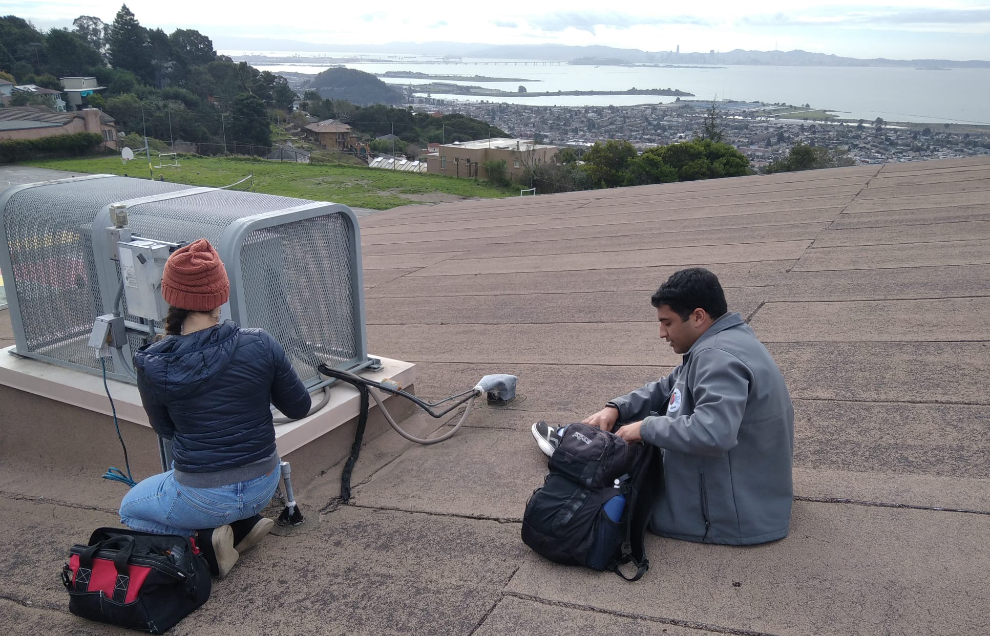
Cohen argues that his sensors are inexpensive enough — less than $10,000 per sensor, versus 20 times as much for pollution monitoring stations operated by the Environmental Protection Agency — that major cities could afford to install a network to get a more granular view of unhealthy areas and sources of pollution. The network sensors also measure five critical air pollutants: carbon monoxide, nitrous oxides (NO and NO2), ozone and particulates (PM 2.5).
Los Angeles, California; Providence, Rhode Island; and Glasgow, Scotland, have already adopted Cohen's sensors to create their own pollution monitoring networks.
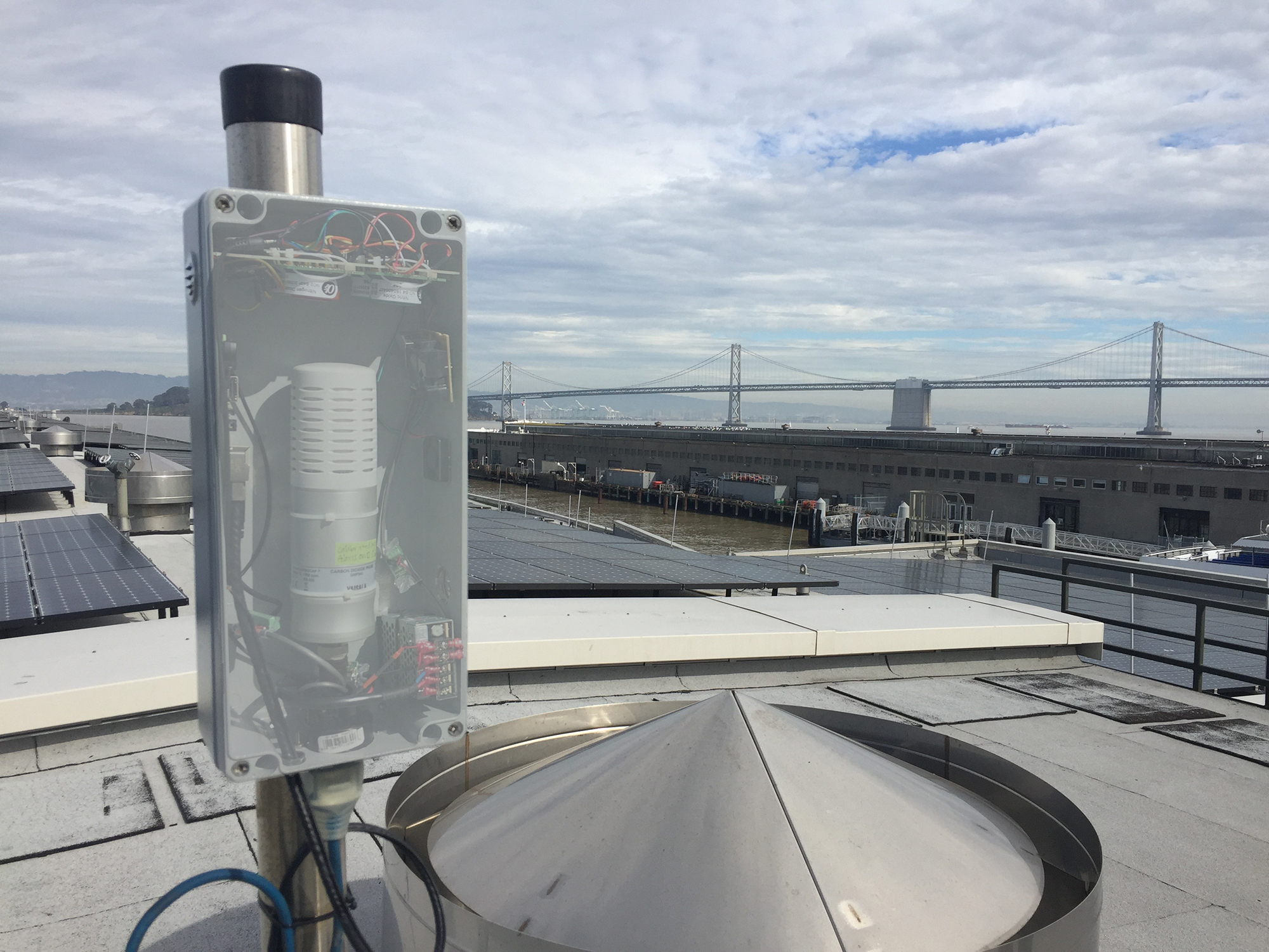
"We show that you can make observations and measure changes due to policies of all kinds in a cost-effective and relatively rapid way," Cohen said. "The network involves about half a million dollars' worth of equipment — a one-time investment — and a person per year thinking about it. One of our goals is to demonstrate, both on the CO2 and the air quality side of what we do, that this is cost-effective and translatable and easily accessible to the public in a way that nothing else is."
In the future, satellites could monitor carbon dioxide levels across wide areas and with more granularity, but those satellites are not yet available, Cohen said.
"The optimal solution will be some combination of space-based assets and ground-based measurements," he said.
Asimow was supported by a National Science Foundation Graduate Research Fellowship (1752814). Former Miller Postdoctoral Fellow Alexander Turner, now at the University of Washington in Seattle, also contributed to the research.
RELATED INFORMATION