
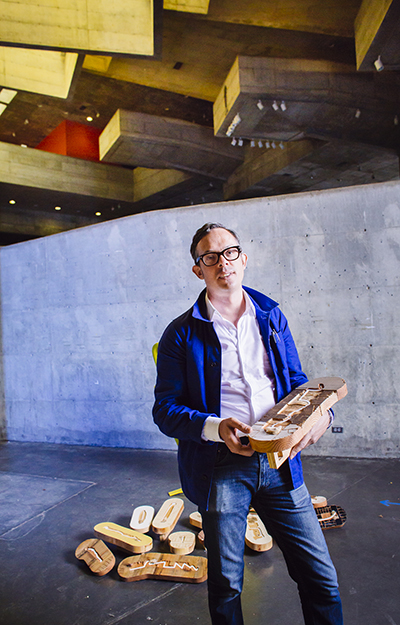
Nicholas de Monchaux
ArchitectureNicholas de Monchaux is an Associate Professor of Architecture and Urban Design and Director of the Berkeley Center for New Media. His design work has been exhibited widely, including at the Biennial of the Americas, the Venice Architecture Biennale, the Lisbon Architecture Triennial, SFMOMA, and the Chicago MCA. He received his B.A. with distinction in Architecture, from Yale, and his Professional Degree (M.Arch.) from Princeton.
Spark Award Project
Local Code: Connecting CAD & GIS for Networked and Sustainable Urban Design
Our work connects two previously separate worlds of information and design in the built environment; Geographic Information Systems (GIS) and Computer-Aided Design (CAD). Over the last five years, we have shown how a robust integration between CAD and GIS can produce unprecedented and essential design work, such as our 3,659 individual proposals for distributed ecological infrastructure in San Francisco, Los Angeles, and New York. Such proposals accomplish much of what large, single infrastructure proposals would accomplish for the city, but at a reduced cost, and with far greater resilience and investment in at-risk communities. As well as a way to make better cities and landscapes, however, the methods we have prototyped are potentially instrumental for a range of design markets. From locally optimizing solar energy installations to effectively configuring ecological prefabricated housing on many sites, we believe our work can play a key role in a wide range of new, digital connections between how we map the world and how we make it.
Nicholas de Monchaux’s Story
More than 1,500 abandoned parcels of land lie scattered throughout San Francisco, from unused alleys to vacant parking lots and public easements. The combined area rivals the size of Golden Gate Park. In New York City, more than 2,000 similar “remnant parcels” add up to the size of Central Park.
The city of San Francisco has a database of what planners label “unaccepted” areas – streets and parcels the city cannot sell but doesn’t maintain. But without more information about the sites, the database remains basically just a list, says Nicholas de Monchaux, associate professor of architecture and urban design.
By integrating the potent tools of digital mapping with digital design technology used in architecture and engineering, he has created a new way to envision these many unused and underused sites together.
He has compiled digital maps of a wide range of underused areas in San Francisco, New York and Los Angeles – the type of sites that he calls spaces between places. His team has overlaid the digital geographic data with layers of public information on local conditions, such as stormwater drainage, the urban heat island, and airborne pollutants.
Building on this environmental analysis, de Monchaux’s GIS mapping and design software allow custom, site-specific designs to be developed for each location. Together, they can help planners and the local communities envision a potential open space network to improve both a city’s environmental health and social vitality – what he calls an “archipelago of opportunity.”
“At its most basic level, this software allows you to connect data and design in fundamentally new ways. It allows you to make specific proposals for many hundreds, and thousands of sites, based on the increasing data we have about cities and the natural environment: Where does the site lie in the watershed? How much solar energy can it absorb, or produce?”
The combination of large-scale data-driven analysis and many hundreds of customized designs is unique to de Monchaux’s efforts.
A Bakar Fellows Program grant supports research to make the unique combinations of digital mapping and design compatible with generally available design software, for widespread use by architects, planners, and urban designers.
Custom cloud-based software helps de Monchaux manage the flow of information between mapping and design tools. Support from the Bakar Spark Fund will allow these tools to become more stable, adaptable, and available for wider use.
“What we’re providing is a way to visualize and understand the specific conditions of each of these sites – less words and more information-dense pictures,” he says. “Until the advent of digital mapping, we could not easily perceive this resource or analyze its potential.”
In a pilot project, de Monchaux worked with a Los Angeles-based urban greening non-profit called The Amigos de los Rios. They zeroed in on fenced vacant spaces along the Los Angeles River which are leased by billboard companies.
Volunteer labor built up a database of many hundreds of sites already begun by the non-profit; then de Monchaux’s team used satellite photos to assess any current use of the sites.
“Our database generated a map of 800 billboard sites and a rendering of what each site might look like with a park. The site-specific modeling also allowed us to determine how much money would be saved through stormwater treatment and retention on these sites, as well as energy savings from the effect on the urban heat island.
Using this kind of approach, urban greening projects are now under way in some of New York City’s vacant lots. Between the five boroughs, the city holds 30,000 such lots – a potential goldmine for urban resilience, de Monchaux says.
In 2016, he published a book crammed with data-rich renderings of these underused sites. The book’s title, Local Code, highlights his purpose: focusing on planners’ designations for land use as well as the powerful added layers of information and analysis embedded in the code of digital technology.
The urban digital mapping and design project is a natural fit for Berkeley, de Monchaux says. “New technology for the common good – it’s part of Berkeley’s DNA.”