The critical zone: Studying where all of life happens

Science isn’t generally considered an extreme sport, but you wouldn’t know that by watching researchers in the Eel River Critical Zone Observatory scale hundred-foot-tall trees and wade through rushing rivers.
“The job description includes diving, swimming and snorkeling,” says hydrologist Sally Thompson, assistant professor of civil and environmental engineering, “along with hammering re-bar into a streambed and plenty of digging."

Thompson is the deputy director of the Eel River Critical Zone Observatory (CZO), one of ten National Science Foundation observatories that study the interconnected physical, chemical and biological processes of the “critical zone” — where rock, soil, water, air and living organisms interact and shape the Earth’s surface.
“We use the term ‘critical zone’ to describe the very thin slice around the Earth where all of life happens,” says Thompson, “which runs from the top of the tallest trees down to the bedrock where water can no longer flow.”
The critical zone provides us with clean water, food, nutrients, soil and carbon storage. CZO researchers are examining this zone to predict how the Earth’s surface will evolve with climate changes and future human activity. Their discoveries will help inform and guide decision-making on how to best mitigate and adapt to environmental changes.
“The big questions we’re studying focus on the availability of clean, healthy water,” says Thompson. “For example, the Eel River is susceptible to persistent blooms of toxic cyanobacteria [blue-green algae], particularly when low summer flows follow high winter flows. Cyanobacteria have already killed some dogs in the area. So we can look at different climate forecasts and understand the risks that are likely to occur.”
Thompson is part of an interdisciplinary group of researchers from UC Berkeley studying the 10,000-square-kilometer Eel River watershed in northern California, running from the ocean near Eureka to headwaters in Lake County. The team currently has nine principal investigators, 16 graduate students, 40 undergraduate students and two postdoctoral researchers ranging from microbiologists to hydrologists. “It’s a very diverse team, which is really important — and also fun,” adds Thompson.
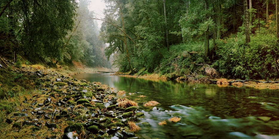
The Eel River is one of the wildest rivers left in North America, one of only a couple hundred designated “Wild and Scenic” by the federal government. The Angelo Coast Range Reserve within, administered by UC Berkeley, is one of 39 sites in the University of California Natural Reserve System. “It’s essentially undiverted and much of its watershed is untrammeled, so it’s one of the few places you can study to understand how a river behaves in the absence of human intervention,” says Thompson. “UC researchers have been working in the area for about 30 years, and now we can add to that suite of knowledge.”
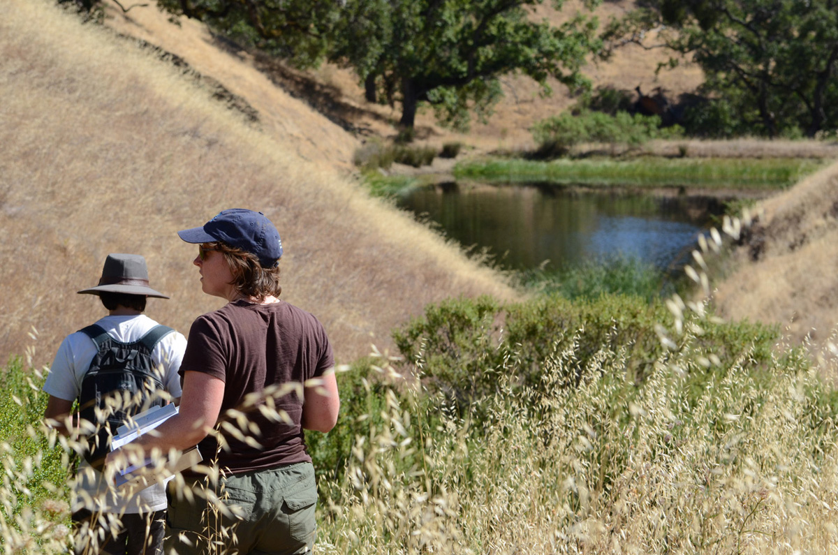
The Eel River watershed also has an unusual geological dichotomy, providing a kind of natural experiment. “There’s a phenomenal change that happens in the geology along a line through the watershed that you can see in the vegetation,” says Thompson. “On the western side, we have dense Douglas fir forests with 30-meter-tall emerald green trees and classical cool rainforest conditions. Then you walk 500 meters east and find yourself in an oak savanna. We’re trying to understand these regional differences.”
They study the area with a network of wireless sensors that stream data to campus in real time — measuring soil and rock moisture, water table levels, air and river temperatures and river flows.
Graduate student David Dralle develops mathematical models to characterize the river’s flow during the dry season. “The end-of-summer condition is the ecological bottleneck for fish, trees and everything up there,” says Thompson. “The variability in the dry down is associated with how rainfall arrives in winter. If you have a large spacing between large rainfalls, then you have a really good opportunity to refill subsurface aquifers.”
Graduate student George Greer focuses on the large temperature contrast between the main stem of the Eel River and cooler tributaries, which differ by up to 50 degrees Fahrenheit. This is significant because salmonid fish (including steelhead trout) are very temperature sensitive and need cool conditions. “The cold water coming in from tributaries mixes with warm water, so locally you have patches of habitat in the main river that is cool enough for big salmon,” says Thompson. “These cold-water refugia are critical for the survival of the salmonid species.”
The group has installed dense 3-D temperature sensor arrays in key confluences and works with roboticists from the University of Nebraska, Lincoln to develop drones for temperature monitoring in remote river locations.
“Our collaborators have equipped hexacopters with a long unspooling mechanism that lowers temperature sensors into the water,” says Thompson. “The drone hovers above and lets you dump the sensor into the water and move it around. Because the drone has high-precision GPS, and a pressure sensor tells us the depth of the underwater sensor, we can transform the measurements into 3-D temperature maps.” In addition, drones can capture water samples. The group is currently testing and getting permits for their drone prototypes, and the first drones will be rolled out this summer at the Eel River.