A machine learning breakthrough uses satellite images to improve lives
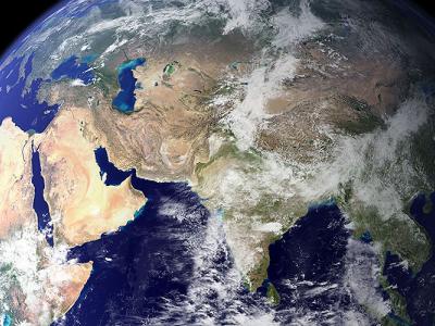
More than 700 imaging satellites are orbiting the earth, and every day they beam vast oceans of information to databases on the ground. There’s just one problem: Only those with considerable wealth and expertise can access it. Now, a UC Berkeley team has devised a machine learning system to tap the problem-solving potential of satellite imaging that could bring access and analytical power to researchers and governments worldwide.